
| |||
| Return to Table of Contents Go to Page [1] [2] [3] [4] [5] [6] [7] [8] [9] [10] [11] [12] [13] [14] [15] [16] [17] [18] [19] [20] [21] [22] [23] [24] [25] [26] [27] [28] [29] [30] [31] [32] [33] [34] [35] [36] [37] [38] [39] [40] [41] [42] [43] [44] [45] [46] [47] [48] [49] [50] [51] | |||
PAGE 41
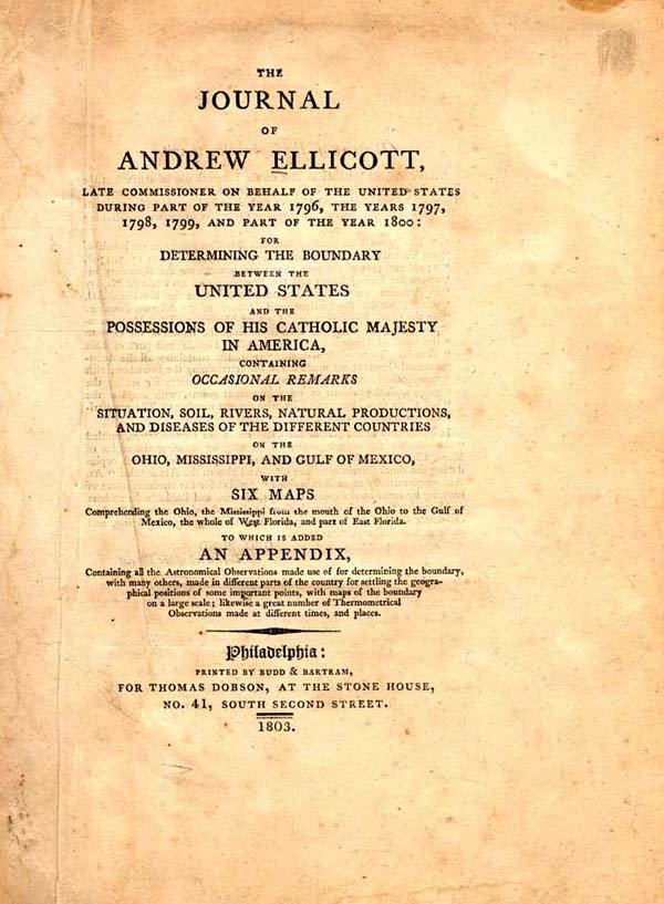
| Andrew Ellicott was one of the most
celebrated surveyors of his day and an early advocate of the United States' acquisition of Louisiana. The list
of his accomplishments is long; for example, it was Ellicott who laid out the City of Washington and first
measured the height of Niagara Falls. His connection to the Louisiana Purchase story is two-fold. In 1796,
he was appointed by George Washington as U.S. Commissioner to survey the boundary separating the
United States from Spain's Mississippi Territory as defined in the Treaty of San Lorenzo, a task which
occupied him from 1796 to1800 and is detailed in his Journal. And he also assisted Thomas
Jefferson in planning the Lewis and Clark expedition following the Purchase and instructed Meriwether
Lewis in various surveying techniques.
|
Included in the Journal are a number of maps, including this early map of the mouth of the Mississippi
River. View a map
from this book
| 
|